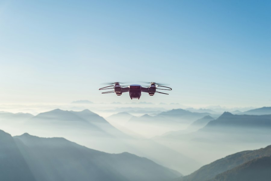
Our survey team now operates drone-based photogrammetry for faster, safer topographic mapping.
Rayda Adds UAV Photogrammetry to Survey Capabilities
May 18, 2026
May 18, 2026
Our survey team now operates drone-based photogrammetry for faster, safer topographic mapping.