Modern Survey Equipment
We invest in reliable instrumentation so that every dataset we deliver holds up in design and in court.
Survey Instrument
Total Station
High-precision angle and distance measurement for control networks and setting out.
Positioning
GNSS/GPS Receivers
RTK-capable receivers delivering centimetre-level accuracy across open terrain.
Aerial Mapping
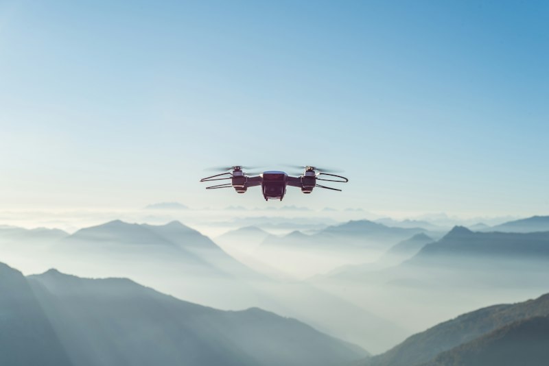
Drone (UAV) Survey Systems
Photogrammetry drones for rapid topographic and volumetric surveys.

Levelling
Digital Levels
Automated levels for precise elevation control on infrastructure works.

Spatial Analysis
GIS Workstations
Dedicated GIS and CAD workstations for mapping, analysis and design.

Water Survey
Hydrographic Survey Kit
Echo-sounding equipment for river, dam and reservoir bathymetry.
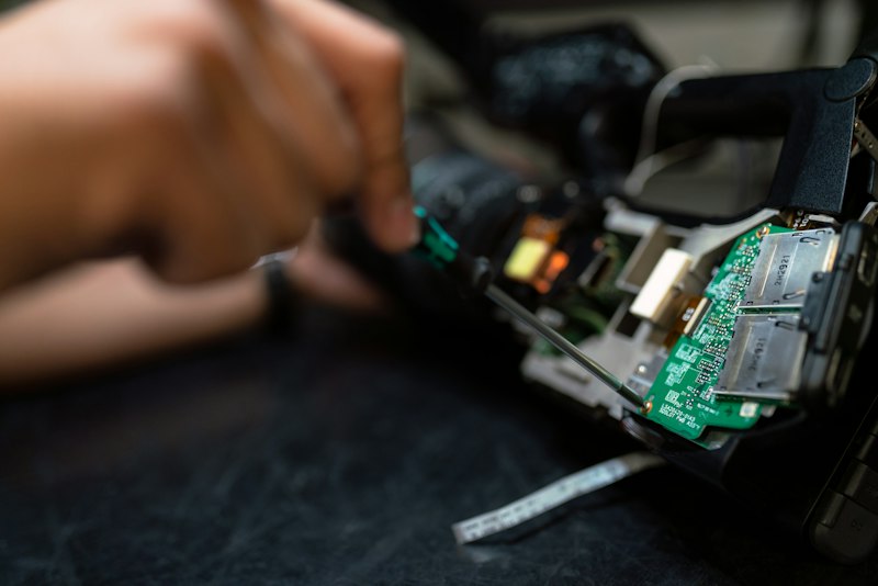
Calibration & Maintenance
Every instrument in our fleet follows a strict calibration schedule to preserve accuracy in the field.
Field Checks
Instruments verified before mobilisation to every site.
Annual Calibration
Manufacturer-certified calibration on a strict schedule.
Redundancy
Backup units on major projects to prevent field delays.
Software Updates
GNSS and GIS software kept current for accuracy and compliance.
Need our survey team on site?
We mobilise fully equipped crews for surveys of any scale.